
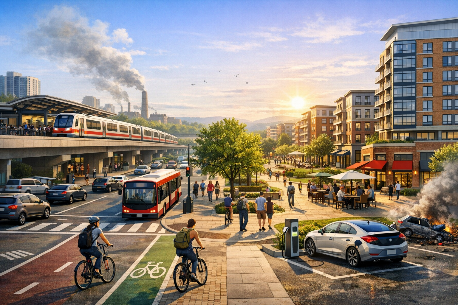
Transportation decisions write the map of property value. When a city adds a rail line, upgrades a bus corridor, widens a highway, or redesigns streets for bikes and walking, the real estate market responds. Homes near fast, reliable mobility see stronger demand. Commercial space concentrates where access is easier for workers and customers. Logistics clusters form near interchanges and intermodal hubs. Understanding this link helps investors spot opportunity, helps planners shape healthier neighborhoods, and helps residents anticipate change.
How Mobility Shapes Property Value and Risk
Property value reflects access to people and places. Shorter travel times, more route options, and reliable service raise a site’s effective accessibility. That accessibility often commands a price or rent premium. The reverse is also true. Noise, air pollution, or unsafe streets can reduce appeal. Markets price the net of these forces.
Speed is not the only factor. Frequency, reliability, and connectivity to multiple destinations all matter. A modest-speed line that runs every five minutes can be more valuable to residents than a fast line with long gaps between trains. For offices, employee catchment size within a reasonable commute can outweigh highway adjacency. For retail, footfall and pass-by traffic shape sales. For industrial, proximity to interstates, rail spurs, and ports reduces shipping costs and cycle times.
Rail, Bus, and Bus Rapid Transit
Fixed-guideway rail and well-designed Bus Rapid Transit often support stable premiums in nearby residential and commercial markets because they signal permanence. Stations that integrate safe crossings, lighting, and active ground floors extend that value farther into the neighborhood. By contrast, a station surrounded by parking lots with poor sidewalks may show a sharp value drop beyond a short radius.
Highways and Interchanges
Highway access can lift the value of logistics, warehouse, and certain retail sites due to faster truck turns and regional reach. Noise and air quality externalities, however, can depress nearby residential values. Well-buffered designs, tree cover, and setbacks can mitigate some effects. For offices, highway visibility can help, but many firms now prioritize locations with strong transit access to widen their talent pool.
Airports and Freight Nodes
Airports support hotel, conference, and time-sensitive industrial uses such as biomedical and e-commerce fulfillment. Air cargo facilities and intermodal yards pull warehouse development to their edges. Residential demand often avoids high-noise flight paths. Communities use zoning, sound insulation programs, and compatible land uses to manage this tension.
Transit-Oriented Development and Walkable Mixed-Use
Transit-oriented development pairs medium-to-high density housing, offices, and retail with frequent transit, short blocks, and safe walking and biking. The approach reduces car dependence, expands choice, and can lift both rents and quality of life.
Design Features That Drive Premiums
Several design elements tend to support price and rent strength near stations:
- Short blocks and complete sidewalks that make a 5 to 10 minute walk appealing
- Active ground floors with neighborhood-serving retail and transparent facades
- Parks, shade trees, and lighting that improve comfort and safety
- Mixed housing types, from studios to family-sized units, to stabilize demand across cycles
- Limited curb cuts and traffic-calmed streets to reduce conflicts and noise
Parking and Last-Mile Mobility
Right-sizing parking frees land for productive uses and lowers project costs. Shared district garages, unbundled residential parking, and curb management for ride-hail and deliveries support smooth operations. Bike lanes, protected intersections, and micromobility docks extend the reach of transit, especially where stations sit just beyond a comfortable walk.
Common Pitfalls
Three mistakes often blunt the benefits of new transit:
- Building stations without safe, direct walking routes
- Freeing road capacity that induces car trips and erodes bus speed
- Zoning that caps height or forbids mixed-use near stations, pushing growth to less accessible locations
Measuring and Forecasting the Impact of New Infrastructure
Forecasts should focus on accessibility, not only distance. A site 0.3 miles from a station divided by a highway without a safe crossing may be less valuable than a site 0.5 miles away on a continuous, shaded sidewalk network. Blend quantitative tools with on-the-ground checks.
Data Inputs That Matter
- Trip-time isochrones for peak and off-peak periods by mode
- Service frequency and reliability metrics, not just posted schedules
- Street network quality, pedestrian level of stress, and bike lane continuity
- Zoning capacity, pipeline projects, and any pending up-zonings
- Environmental review milestones and construction phasing for the transport project
- Noise contours, air quality screens, and flood or heat risk layers
Red Flags and Timing Risks
Transport projects carry political and delivery risk. Monitor right-of-way acquisition, utility relocation, and operations funding. A rail line that opens with reduced frequency due to budget gaps will not deliver the same market response as planned. Structure deals with contingencies and stage leasing and sales around credible milestones.
Financing and Policy Tools That Align Property and Mobility
Well-structured finance and regulation can capture part of the value lift created by transportation and reinvest it in service, streets, and housing affordability.
Value Capture and Joint Development
- Tax increment financing districts to fund station upgrades and streetscape improvements
- Special assessment districts that dedicate a modest levy from nearby beneficiaries
- Joint development on agency-owned land, including air rights, to integrate stations with mixed-use projects
- Ground leases that preserve public ownership and steady revenue while enabling private investment
Zoning and Parking Reform
- Up-zoning near frequent transit to match demand and reduce sprawl
- Eliminating parking minimums and allowing shared or off-site parking
- Allowing missing-middle housing types and corner retail to support a walkable fabric
- Streamlined approvals tied to design standards for predictable outcomes
Affordable Housing and Anti-Displacement Measures
- Inclusionary zoning or incentive-based density bonuses with on-site units
- Community land trusts and limited-equity cooperatives to stabilize tenure
- Right-to-return, tenant protections, and relocation support during redevelopment
- Targeted home repair and small-business support to help long-time residents and merchants benefit
Environmental and Public Health Payoffs
Aligning real estate with transportation improvements can lower vehicle miles traveled, cut emissions, and reduce household transportation costs. Safe walking and biking improve health outcomes. Green infrastructure near corridors manages stormwater and heat. Electric bus depots and widespread EV charging can clean local air, though site design should prevent new conflicts with pedestrians and cyclists.
Market Signals and Case Lessons
While local details vary, several patterns recur:
- Station area clarity attracts capital. Clear plans, predictable approvals, and early public-realm work narrow investor uncertainty and lower financing costs.
- Frequency beats speed for daily life. More trains or buses per hour often moves values more than small travel time cuts.
- Industrial follows the network. New interchanges, intermodal yards, and last-mile delivery depots redraw industrial maps quickly.
- Retail thrives on footfall. Streets designed for strolling and lingering support cafes, services, and small-format grocers.
Cities that paired major transit with walkable streets and housing near stations typically saw broad, sustained demand. Places that added transit but left hostile arterials, large setbacks, and strict single-use zoning on the books often missed the value they expected.
Practical Playbook for Buyers, Owners, and Developers
For Homebuyers and Renters
- Test the actual commute door-to-door during peak hours on a weekday.
- Walk the route at night to assess lighting, crossings, and comfort.
- Check capital programs for planned station upgrades, new lines, or bus network redesigns.
- Review any special assessments or HOA fees tied to local improvements.
For Investors and Lenders
- Map multi-modal isochrones for current service and for funded future service.
- Underwrite with two scenarios: service on time and service delayed, with different lease-up and rent assumptions.
- Prioritize locations with strong as-is access that also benefit from planned upgrades.
- Seek projects with district-scale parking and curb management strategies.
For Developers and Owners
- Engage transit agencies early to pursue joint development or coordinated access.
- Design for walking first, with doors and active uses on the main pedestrian paths.
- Phase projects to align with credible transit milestones and public-realm delivery.
- Offer mobility benefits such as transit passes, bike rooms, and car-share spaces in lieu of excess parking.
For Planners and Elected Leaders
- Zone for adequate height and mix near stations, and eliminate parking minimums.
- Fund sidewalks, crossings, trees, and lighting before or alongside transit opening.
- Pair value capture with meaningful affordability requirements and anti-displacement support.
- Measure success with accessibility metrics and mode share, not only traffic speed.
Bringing Property and Mobility Strategies Together
Real estate and transportation are strongest when planned as one system. A station that arrives with safe streets, flexible zoning, and a pipeline of mixed-income housing can lift neighborhood prosperity without pushing people out. A warehouse district placed near high-capacity roads and rail, with well-managed truck routes and buffers, can add jobs while protecting adjacent homes. The most resilient investments focus on places where the network already works for people today and is set to work better tomorrow.
For anyone making location or capital decisions, treat accessibility as an asset class. Track service frequency, not only distance. Watch policy, not only asphalt. And design for the trip from the front door, not just the curb. That is how transportation improvements translate into durable real estate value and healthier, more connected communities.
Leave a Reply